Join us for the Land and Water Summit Field Trip, where we will visit sites that showcase best management practices in green stormwater infrastructure (GSI), habitat restoration work, and local traditions connecting community to land and water. Attendees will meet at the Indian Pueblo Cultural Center on Wednesday, March 5th and depart at 8:00 a.m. by chartered bus. Check in begins at 7:30 – please schedule your time accordingly as the bus must leave on time to keep on schedule. A picnic lunch will be provided at the Valle de Oro Wildlife Refuge. The bus is scheduled to return to the Indian Pueblo Cultural Center at 4:30 p.m.
Please note the weather and bring what you need to be outdoors for the day. Guests are encouraged to wear comfortable shoes and to bring water, sunscreen, and hats.
Purchase Field Trip Tickets here – it is not necessary to attend the 2-day conference to purchase field trip tickets.
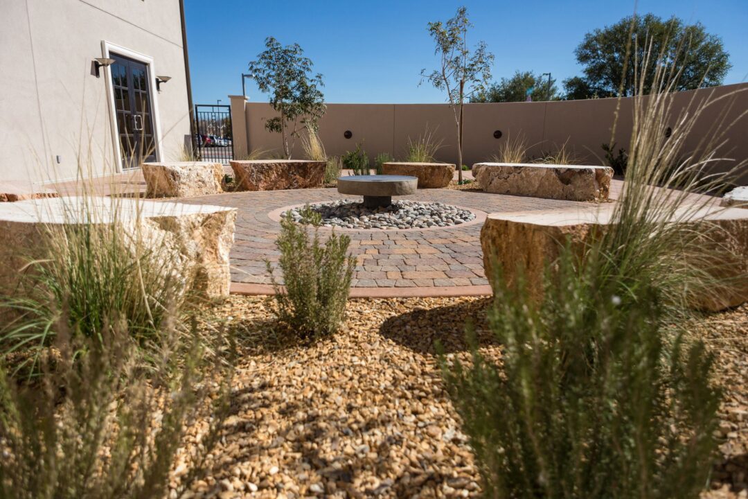
Los Lunas Transportation Center
Designed by: Sites Southwest
Presenters: George Radnovich, SSW and Jason Duran, Village of Los Lunas
Phase II of the Transportation Center Improvements was focused on creating a centralized town center for the Village of Los Lunas. The site design integrates several unique spaces and facilitates better connectivity and function for the Rail Runner Station and regional transit. The North Plaza features a small stage and plentiful shade to facilitate social gatherings such as musical performances and other community events and utilizes permeable pavement with a shallow water wicking system to provide the trees with an excellent growing medium. The Courtyard is enclosed by a stucco wall to match the transportation center, which provides a more intimate setting conducive to smaller, private gatherings with a demure water feature and plazuela with a centralized seating area. The South Plaza is designed for pedestrian traffic between the Rail Runner station and the loading and unloading zone. It features several landscaped berms with seating areas with a dense canopy of Cottonwood trees that will provide refuge from the sun.
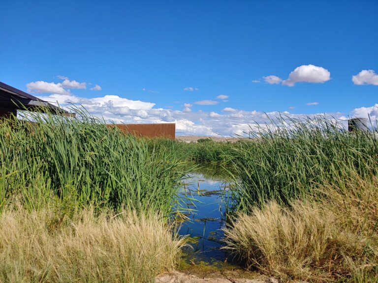
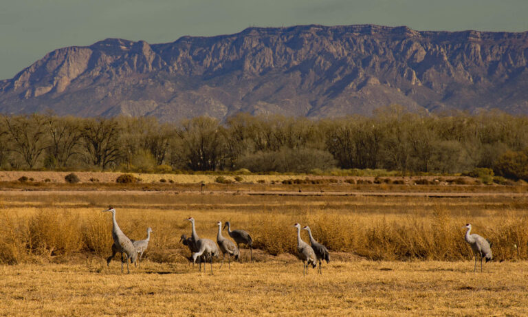
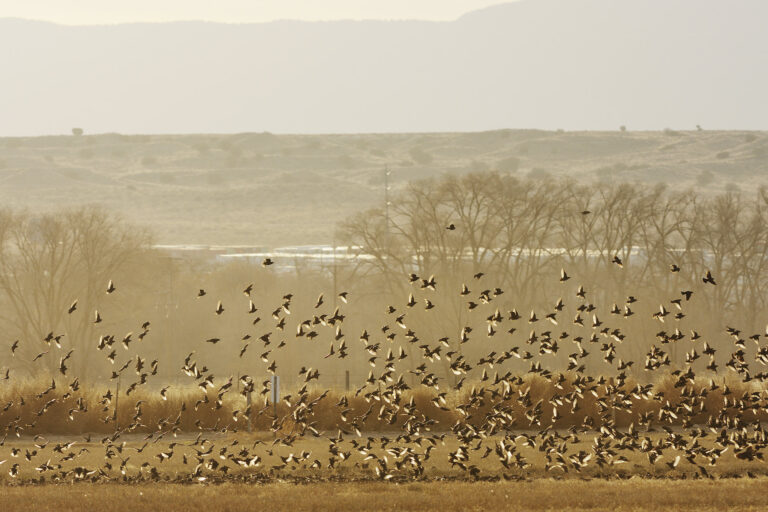
Valle de Oro National Wildlife Refuge
Presenters: Jennifer Owen White, FWS PJ Chavez, AMAFCA and Dan Aguirre, Wilson & Co.
Established in 2012, the Valle de Oro National Wildlife refuge is the first US Fish and Wildlife Service urban wildlife refuge in the Southwest Region and the first public land to develop and commit to an Environmental and Economic Justice Strategic Plan. Located on 570 acres of a former dairy farm in the Mountain View Community, refuge staff has worked with community and partners to begin the process of creating a variety of wildlife habitat areas, create trail networks, and provide opportunities for education and engagement. One of the many collaborations has been with AMAFCA, the local stormwater authority, which recently completed a 600-foot wide and a 200-foot-wide stormwater drainage swale across the refuge. Designed by Wilson and Company to relieve flooding in the Mountain View Community, the swale will provide storm water quality treatment, in addition to supporting habitat creation, prior to discharge to the Rio Grande Bosque.
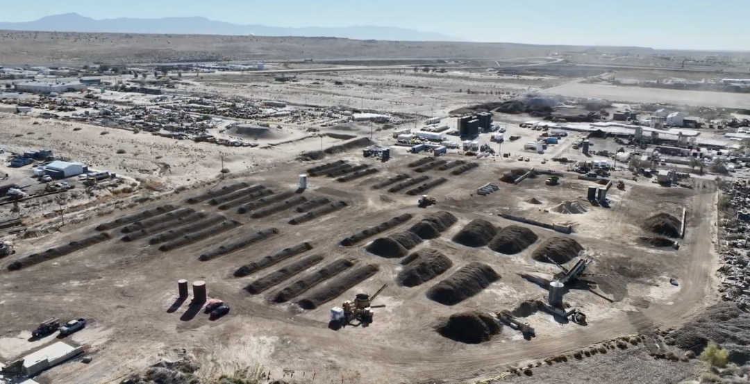
Presenter: Dawn Dewey, Owner
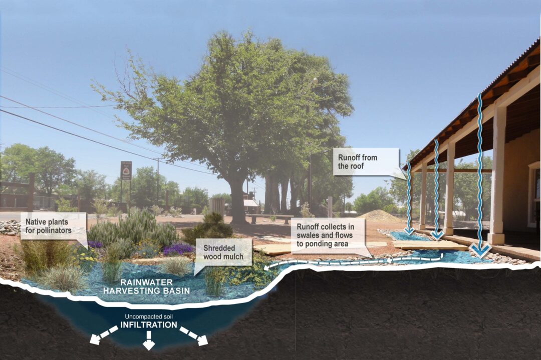
Gutiérrez Hubbell House Rainwater Harvesting Learning Landscape
Designed by: Pland Collaborative in collaboration with Judith Phillips’ Design Oasis,
Adaptive Terrain Systems, and Waterwise Landscapes Inc.
Presenters: Judith Phillips, Jim Brooks, and Hunter Ten Broeck
The Gutiérrez Hubbell House Learning Landscape was a partnership between Ciudad Soil and Water Conservation District, Arid LID Coalition, and Bernalillo County to teach homeowners how to create and maintain a passive rainwater harvesting system. Designed by the Pland Collaborative, the project came to fruition through the support of many key parties, including the Rocky Mountain Youth Corps and subject matter experts from Adaptive Terrain Systems, Judith Phillips’ Design Oasis and Waterwise Landscapes Inc. The project corrected erosion issues caused by runoff from the Gutiérrez Hubbell House roof by directing the runoff through swales to a rainwater harvesting basin planted with locally appropriate species adapted to the inundation zone of the landscape. The design and construction process was documented in a series of videos that takes viewers through the planning and implementation and concludes with guidance on watering, pruning and weeding (available at bernco.gov/rainwater). The learning landscape’s lessons also live on through on-site interpretive signage and workshops regularly hosted by Bernalillo County.
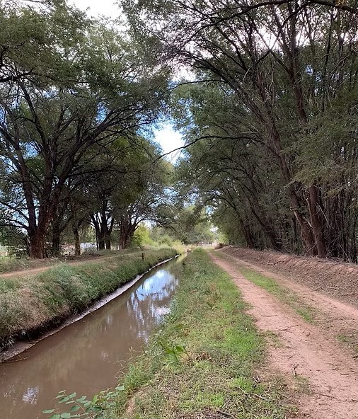
Pajarito Acequia Walk and Talk
Presenter: Jorge Garcia, CESSOS

